

Research
Estimating and analysing the solar resource in territories
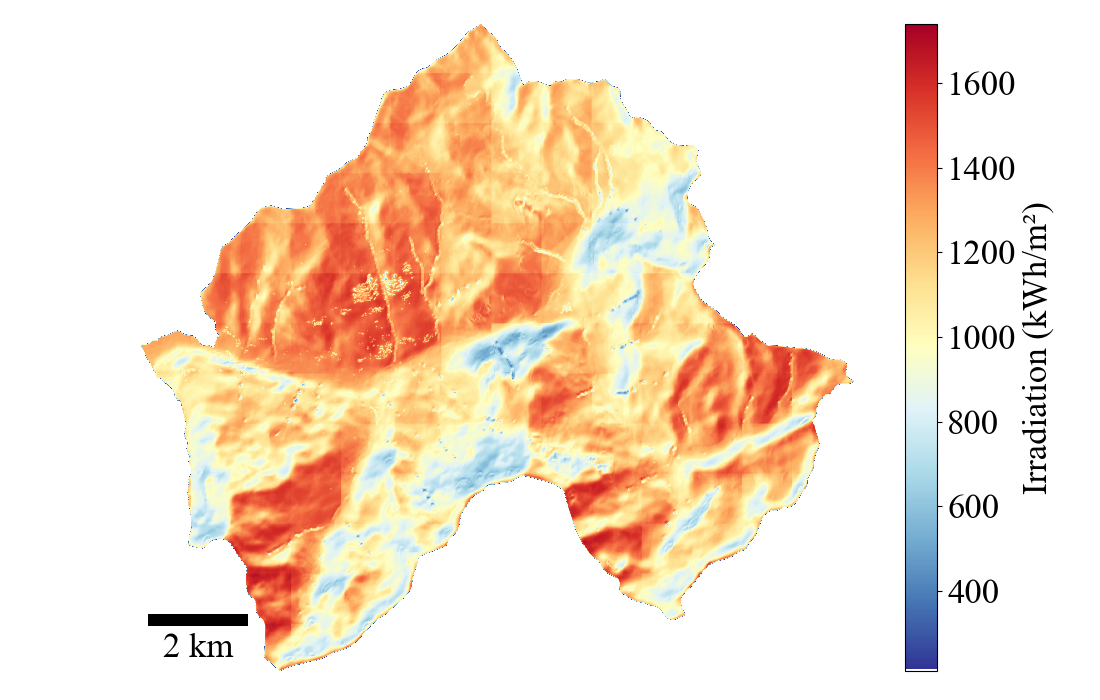
This research axis focuses on the solar resource and its spatial and temporal variability at territory scale. The objective here is to consider the urban environment and its complexity in order to decompose and characterize this variability.
keywords: urban radiation modeling tools, the variations in solar resources at different spatial and temporal scales within the urban fabric, ranging from highly detailed neighborhood-level to large territorial and municipal scales, simplified approaches for estimating solar resources.
Performance of photovoltaic systems in their environment
In this research axis, various aspects of PV production within its environment are addressed such as instantaneous production of PV systems and how it is influenced by different environments, whether urban or mountainous. Over the long term, the efficiency of PV systems also decreases due to 'natural' degradation. While a default degradation rate is commonly used, aging is in fact influenced by environmental stress. In the third section, we investigate how the degradation rate may vary for different PV installations across various French cities, taking climate change into account. Finally, like any system, PV systems are subject to faults and failures. Another topic is about the performance prediction for real operating systems, where it is necessary to model, detect, and understand these faults.
Integrating solar into territorial energy planning
Massive photovoltaic deployment rarely runs short of resource. Sunlight is abundant and the available surface suffices. The problem sits in the decision. Which roofs, in what order, on what criteria, decided by whom.
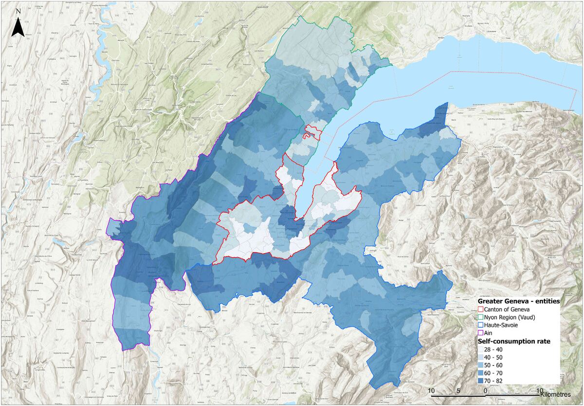
The criteria share no common unit. Irradiation, usable area, self-consumption potential, roof complexity, payback period, heritage constraints, grid capacity, social acceptance. This axis applies multicriteria decision aiding to the problem. We elicit what stakeholders value. We aggregate the criteria in a form they inspect and contest. We sort large building stocks into ordered categories, instead of producing one opaque score. The method builds on ELECTRE TRI. We applied the method to Greater Geneva, some 265,000 buildings, and then to mountainous French territories.
Planning what comes next means knowing what stands today. Convolutional neural networks applied to aerial imagery detect existing photovoltaic installations building by building across French territory. We validate the results against distribution grid operator records. The datasets, the code and a public dissemination site are open. A cadastre serves no purpose if the people who decide never see the results.